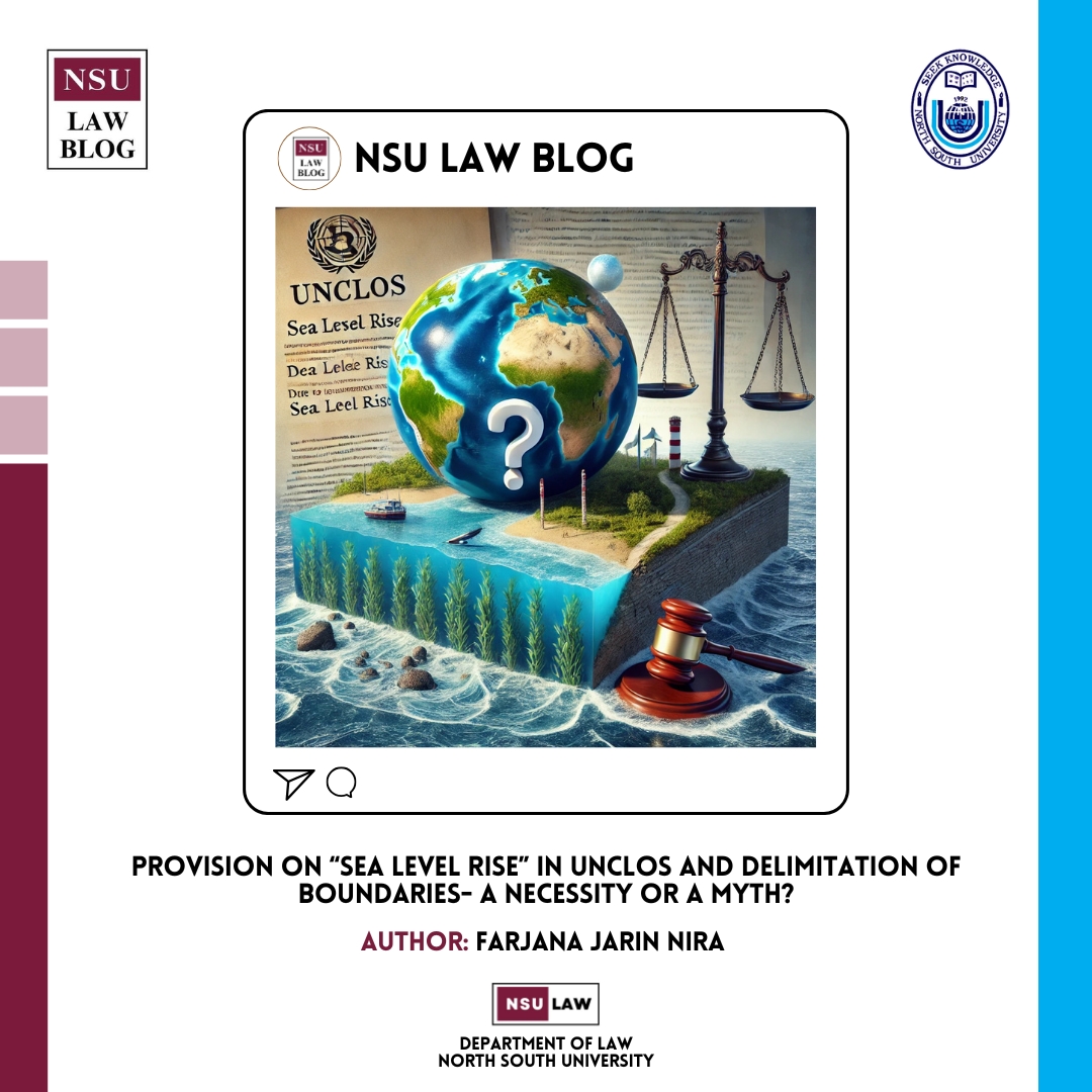
Provision on “Sea Level Rise” in UNCLOS and delimitation of boundaries- a necessity or a myth?
United Nations Convention on Law of the Sea (UNCLOS) is the regulatory authority that provides provisions for the delimitation of maritime zones, including the territorial sea, exclusive economic zone (EEZ), Continental Shelf, and High Seas. Sea level rise (SLR) has become a growing concern since the late ‘80s as it causes natural calamities like floods, soil erosion, saline water, etc. It not only affects the marine environment but also creates difficulties in measuring maritime zones, using marine resources, and surviving in the coastal regions. There are several factors for which sea level may rise, such as global warming leading to melt of glaciers and thermal expansion in the sea. Scientists warn that even a slight change in sea level may cause submergence in many critical coastal areas or low-lying lands. Dispute regarding determining maritime zones arises nowadays due to the disappearance of lands and an increase in waterways as the boundary for baseline becomes uncertain as a result of sea level rise. International law is silent on how maritime zones will be determined once baseline shifts due to SLR, but consequences are unavoidable for coastal states that will suffer.
Maritime boundaries are distributed among countries using the principle of equidistance. This principle says that the boundaries between two or more countries should be equally drawn from the baseline of each country’s coast. That is, every point of the maritime zones must be equally distant. If the boundary of the baseline changes, it will have a great impact on the principle of equidistance.
One may argue that, no state would like to modify its baseline for sea level rise as it threatens coastal states’ rights to international waters and marine resources. For instance, Maldives, in a UN report, raised concern about submerging low-lying lands due to climate change, stating that because of rising sea levels, their EEZ and other maritime zones could be at risk. It also claimed that such zones should continue to exist even after the physical disappearance of the coastal lands. Eventually, such a practice will create geopolitical tension because if the baseline remains unchanged, the coastal state, having an unfair advantage, will enjoy more internal water. Also, this will significantly violate Article 5 and Article 7 of the UNCLOS, which, respectively, provide that the normal baseline is to be drawn along the coast and the straight baseline is to be drawn in such a way that it “must be sufficiently closely linked to the land domain”.
Studies project that the sea level would rise 2 to 6 feet higher in 2100 than it was in 2000. As the sea level rises, it causes a shift in the baseline, which would require territorial sea and other maritime boundaries to be re-assessed. Rise in sea level, on one hand, will lessen landward territory, on the other hand, states may lose significant marine resources as maritime boundaries will need to be readjusted. As the measurement changes, internal water will be considered as a territorial sea. Likewise, the territorial sea becomes EEZ, and EEZ becomes a part of the high seas. Such a situation will also disrupt the stability and peace between neighboring countries. If territorial claims are re-assessed, what happens to claims over marine entitlements and how do countries safeguard their maritime rights?
UNCLOS, from their baselines, allows states to extend its territorial sea up to 12 nautical miles EEZ up to 200 nautical miles and high seas lie beyond the jurisdiction of any state. States have sovereign authority over territorial seas, continental shelf, and EEZ. The establishment of EEZs has granted coastal nations sovereign rights to explore, exploit, conserve, and manage the natural resources within this zone. Coastal states that depend on the blue economy can lose a significant portion of resourceful EEZ as the zones change their legal status. Moreover, Sea level rise causes serious challenges to the stability of maritime boundaries for archipelagic states and small island developing states as well.
Low-lying states like Bangladesh are at major risk as the scholars express concern that Bangladesh’s SLR is reportedly surpassing the global average. Bangladesh underwent a long-standing dispute regarding overlapping claims on maritime zones with India and Myanmar. Both cases were resolved in 2012 and 2014, respectively, and Bangladesh was awarded an equitable portion of the maritime zones. If geography in the coastline changes, diplomatic relations with neighboring countries may turn bittersweet again.
Alarmingly, no international law addresses the issue of changing maritime zones for Sea level rise except Article 7(2) of UNCLOS which states that if any natural event destabilizes the coastline, it is a discretionary decision of the coastal states whether they want to alter the baseline. This statement is vague and does not clarify the calculation of baseline and coastal state’s authority over associated marine resources if countries decide to shift their maritime boundary due to natural causes.
An essential factor like climate change should be taken into account while delimiting the maritime boundaries as stated by the International Court of Justice in Qatar vs Bahrain (2001). Whereas, in 2014, the Permanent Court of Arbitration opined in the India vs Bangladesh (2014) that climate change must not affect large maritime boundaries across the world. Additionally, The Montevideo Convention on the Rights and Duties of States discusses the criteria to enjoy statehood. According to Article 1 of the convention, a defined territory is a must for a state to be recognized as “a state” under international law. Sea level rise will affect the sovereignty of island states. Some islands are at higher risk of existence due to sea level rise. These states have argued that even if their land becomes submerged, they should retain their maritime zones under international law. Hence, a legal framework must be adopted to address such an alarming issue and preserve maritime zones.
Ambulatory theory, which states that maritime boundaries are not fixed and that the coastline may change for natural incidents, is an established legal principle. While certain provisions of UNCLOS agree with ambulatory theory, the issue is resolved with a variation of state practices. Countries benefit the most from EEZ. Shifting it will accelerate political and economic conflict between neighboring countries over the rights of EEZ.
In 2021, the Declaration on Preserving Maritime Zones in the Face of Climate Change-Related Sea-Level Rise demands clarification or reaffirmation of existing international maritime law. It also included the UNCLOS, about addressing the complexities that arise when nations’ territories are disappearing due to climate impacts keeping the zones legal status unchanged even if they submerge. Some countries that have the least contribution to global sea level rise are the worst sufferers of it as they rely on marine resources for survival. The inclusion of provisions related to water level rise in UNCLOS would protect their rights as coastal states.
Considering the rapid sea level rise, legal reforms, including, the amendment of UNCLOS is a reasonable demand to address the maritime zones for submerged areas considering sea level rise. Article 7(2) of the convention needs an elaborative interpretation. An amendment in UNCLOS would be required to address this issue exclusively. Also, bilateral and multilateral treaties should be adopted by states defining their rights over maritime zones, before international law introduces legal provisions. International courts like The International Court of Justice (ICJ) and the International Tribunal for the Law of the Sea (ITLOS) should play a vital role in revising maritime entitlements even in the absence of land or the modification of baselines.
Across the world, coastal regions and inhabitants are already oppressed by natural calamities and human-made environmental pollution. Sea level rise is adding insult to the wound and having no concrete guideline or framework is making it worse. It is necessary that the world’s lawmakers step forward to align international marine law with providing a solution to the reassessment of maritime zones caused by rising water and ensure a sustainable future.


Farjana Jarin Nira1 Posts
Farjana Jarin Nira is currently an LLM student of Department of Law, North South University. She works as a Graduate Teaching Assistant (GTA) at the same department and an Associate Editor at NSU law Blog. Her interest of research areas Law of the Sea and International Trade Law.
0 Comments